Work — Environmental — 2024–2025
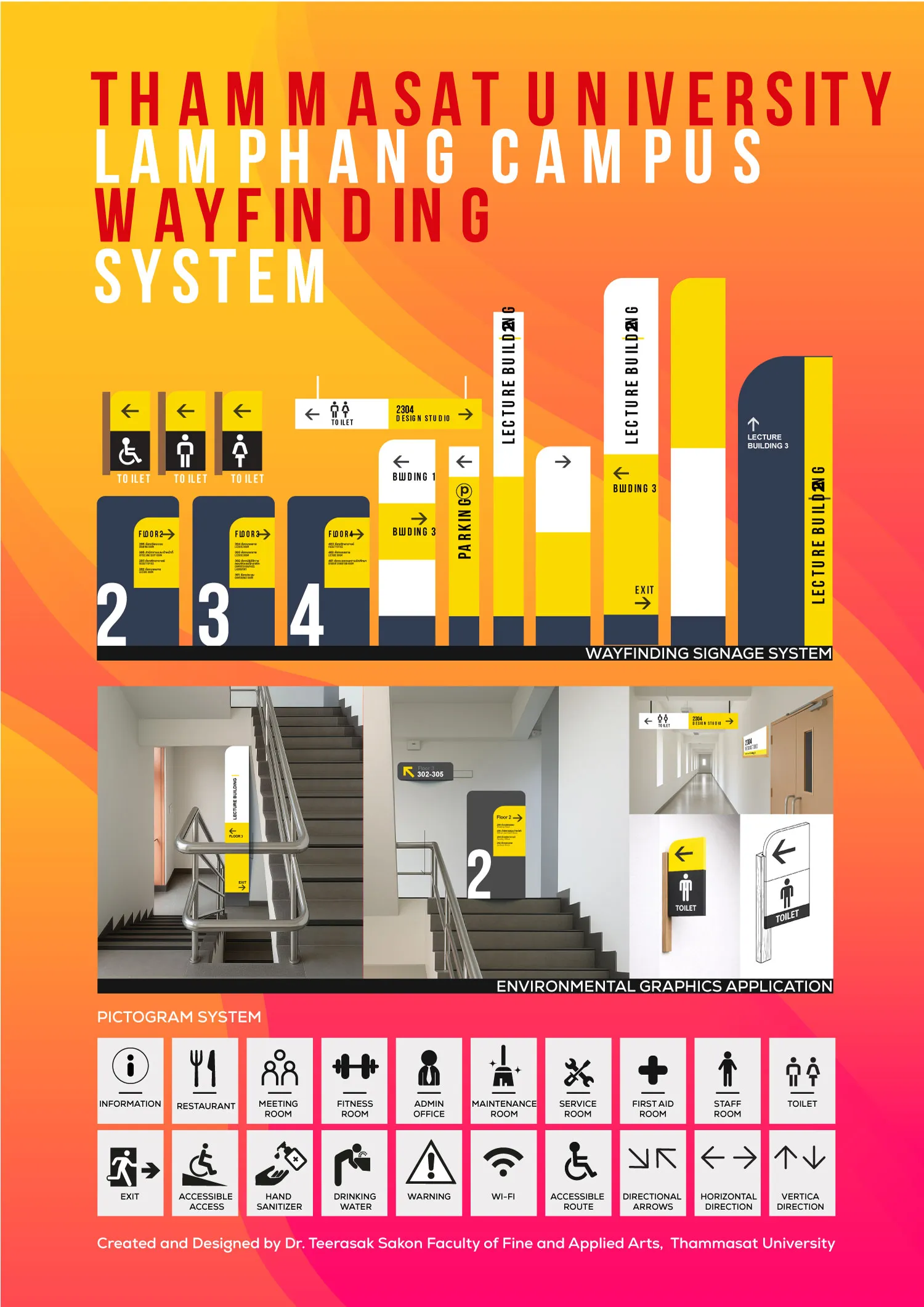
Wayfinding System — TU Lampang Campus
ระบบป้ายนำทาง มหาวิทยาลัยธรรมศาสตร์ ศูนย์ลำปาง
A wayfinding and environmental graphics system for a multi-level teaching building, designed and then evaluated through post-occupancy research — travel time, navigation errors and hesitation at decision nodes measured before and after.
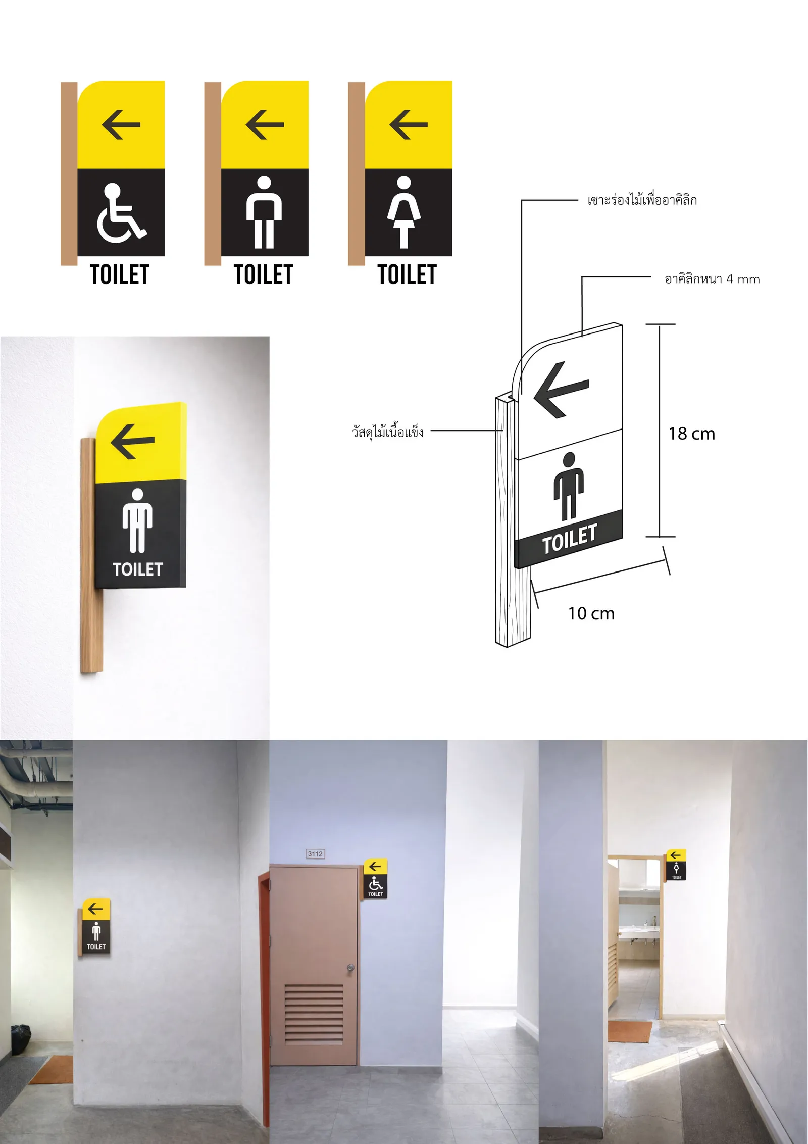
Designing something you can then measure
Most wayfinding is judged on how it looks in a photograph. This system was designed so that it could be judged on whether people actually find their way.
Three behavioural indicators were defined before installation — travel time, navigation errors, and hesitation at decision nodes — and measured through a post-occupancy evaluation. Designing against measurable indicators changes the decisions themselves: sign placement follows where people actually pause, not where a wall is convenient.
Evidence-based wayfinding
The resulting model — evidence-based wayfinding — is now taught as a lens in the author’s textbook and forms the basis of a manuscript under review at Facilities (Emerald, Scopus Q1).
Preliminary findings show improvement across all three indicators; the figures are held until the paper completes peer review.
Why it matters here
This is the clearest case of how the practice is meant to work: a design problem produces an artefact, the artefact is instrumented, and the measurement produces knowledge that another designer can use without having visited the building.